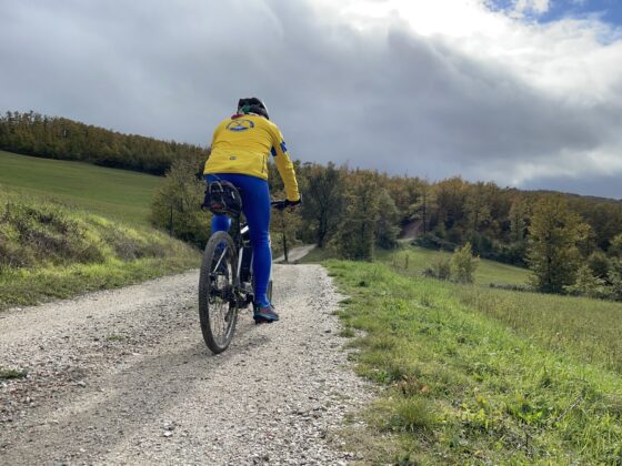
On the Tuscany Appenines to the Alpe of Monghidoro
On the Tuscany Appenines to the Alpe of Monghidoro
Gps Track
Gps Track
- Start: Monghidoro
- Arrival: Monghidoro
- Total Length: 39,8 km
- Cycle type: Mountain bike
- Difficulty by Cycle: Hard
- Climb up: 1370 m
- Climb down: 1370 m
We set off following the signs for Madonna dei Boschi. At the church we turn right along a steep road that leads to the sanctuary of Campeggi, which can be visited with a short detour. In the locality of Cà Zironi the road becomes a dirt track made of short ups and downs, until it crosses a small stream (passage by hand); the track becomes a path for a few hundred meters (we are on the Mater Dei road) until it flows into a private courtyard but with a passage on the left for hikers. Back on the asphalt we quickly descend to the Idice valley floor to climb up the opposite side through the woods of La Martina Park. Reaching the junction with Via Martina, those wishing to take a break can descend 500 meters to the ancient village, with a fountain and refreshment (in summer season). Instead, the route climbs to the left for the last tear that will take us to the ridge, along the Tuscan-Emilian border, where a beautiful viewpoint on the Mugello lands will open up. The road begins to descend until it joins SP 58, which we follow for a few kilometers, passing by the rock formation of Sasso di San Zenobi. At the first fork we turn right, towards Frassineta, and shortly after turn left, taking a cartroad that passes by the Rocchino di Cavrenno, another peculiar rock formation in the area. When we reach the intersection with the Futa state road, we turn right to re-enter Emilia from the ancient Filigare customs house.
One kilometer later begins the climb that will take us to the top of the Alpe di Monghidoro. After a paved beginning, at the height of the old Fantorno tavern, the road becomes a stony cartroad that leads up to the idyllic summit of the alpe. Descending again to the previous fork (since it is therefore a round trip, you may decide to postpone the ascent to the alpe to another occasion), we pass the traffic circle and take a left on via Fornace, as far as the hamlet of Pian dei Grilli where the last, short, stretch of dirt road begins, leading to the cemetery and finally to the town of Monghidoro.
Watch the 3D video


