Ciclovia delle Valli Bolognesi - 2: from Monterenzio to Loiano
Ciclovia delle Valli Bolognesi - 2: from Monterenzio to Loiano
Gps Track
Gps Track
- Start: Monterenzio
- Arrival: Loiano
- Total Length: 40,9 km
- Cycle type: Mountain bike
- Difficulty by Cycle: Hard
- Climb up: 1350 m
- Climb down: 1070 m
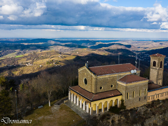
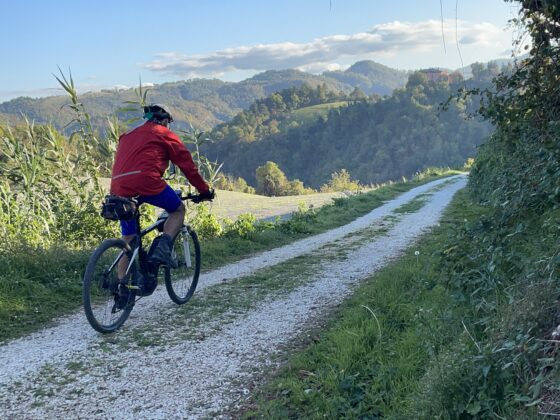
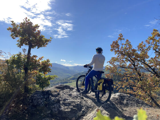
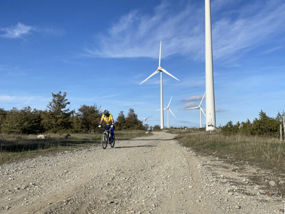
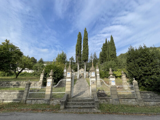
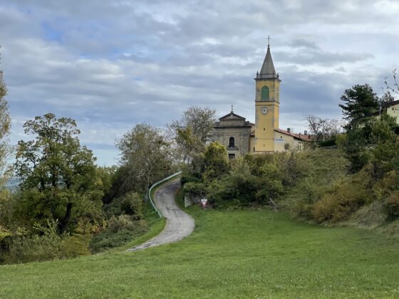
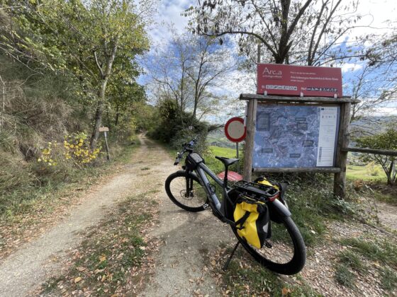
After a visit to the “L. Fantini” Civic Archaeological Museum, we start pedaling by taking via Monterenzio Chiesa and climb the slope to return to the crest of the Flaminia Minor. The route becomes unpaved and continues for 15 kilometers, along one of the most beautiful and scenic stretches of ridge in the Tuscan-Emilian Apennines. Reaching via Casoni di Romagna, we pass the Monte delle Carpenine wind farm and continue to the sasso della Mantesca, an ophiolitic rock that emerges in the landscape, like the nearby sasso di San Zenobi. We continue for another 1.5 km, passing a few high altitude lakes (and some constantly muddy puddles) until we merge onto a paved road that we take to the right descending along the La Martina Regional Park. About halfway down a dirt digression on the left will allow us to see “i Soffioni,” one of the installations of the Montana Art Trail project. Descending to the valley floor, we begin to climb up the opposite slope until we reach Monghidoro, where a restorative stop is a must. Here we rejoin the Via Mater Dei, which continues toward the sanctuary of the Madonna dei Boschi. From the sanctuary a paved road descends steeply to the sanctuary of Campeggi and then reaches via a path through the woods*, the church of Santa Maria Assunta di Gragnano.
*ALERT:
The section of the Mater Dei Trail connecting Campeggi and Gragnano has been affected by a major landslide obstructing passage for hikers and cyclists. While waiting for the road restoration, the GPX track of the Ciclovia that you can download from this site has been modified with a variation that from the Sanctuary of the Madonna dei Boschi descends directly to the church in Gragnano, bypassing the Campeggi sanctuary and the landslide section.
From the church you start climbing again to regain elevation and return to the SS della Futa, with a few hard scrambles and some dirt sections. Back on the main road “della Futa”, just before Loiano, a small detour through the meadows will take us through the “park of the stars,” the area where the Loiano astronomical observatory is located. At the bottom of this short detour it will be necessary to descend to overcome some steps that allow us to re-enter the road and reach the center of Loiano, the destination of our day.
General warning: Many of the unpaved sections of this cyclovia are on clay soil, that becomes an extremely sticky and agglomerating mud in case of rain.
